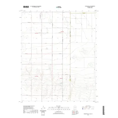
2020 Map of Pleasant Hill NE
USGS Topo · Published 2020About this map
The high plains along the New Mexico-Texas state line are defined by a strict geometric grid of section lines and gravel roads. This landscape in t6n r37e and t5n r37e is characterized by extensive agricultural development where the natural hydrology of Frio Draw cuts through the otherwise level terrain. The infrastructure of the region is oriented around the transport of ranch and farm goods, facilitated by routes like FM 2013 and an organized system of county roads including Curry Road A and Curry Road B. The map illustrates the late-period transition of these rural corridors, showing the precise boundaries between Curry County, New Mexico, and the neighboring Texas counties of Deaf Smith and Parmer.
Find a feature on this map
30 named features on this map. Tap any name to fly to it.
Don’t see what you’re looking for? This feature index may not catch every label — zoom into the map to look around manually.
Map Details
Editions of this 2020 Pleasant Hill NE Map
This is the sole edition of this map. No revisions or reprints were ever made.
Other maps of this area

1954 · Clovis
USGS Topo · 1:250,000

1957 · Pleasant Hill
USGS Topo · 1:62,500

1958 · Clovis
USGS Topo · 1:250,000

1965 · Bovina
USGS Topo · 1:24,000

1965 · Rhea
USGS Topo · 1:24,000

1971 · Garcia Lake
USGS Topo · 1:24,000

1971 · Broadview
USGS Topo · 1:24,000

1971 · Bellview
USGS Topo · 1:24,000

1985 · Pleasant Hill NW
USGS Topo · 1:24,000

1985 · Pleasant Hill
USGS Topo · 1:24,000