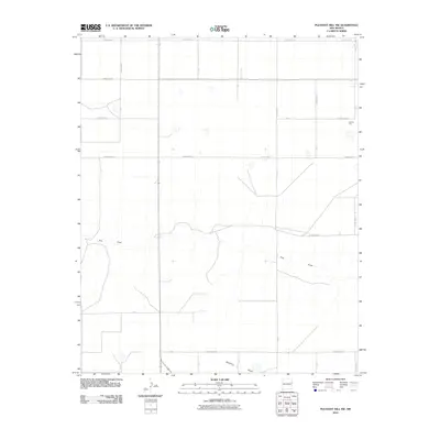
2010 Map of Pleasant Hill NW
USGS Topo · Published 2010About this map
Frio Draw and Mustang Draw define the drainage patterns of this high plains landscape in Curry County, where the topography is shaped by wide, ephemeral watercourses. The 2010 survey illustrates a region dominated by a systematic grid of section roads, including County Rd 34 and Curry Road 32, which reflect the area's agricultural organization and land-use history. The presence of Caliche Pits in the northeast quadrant highlights the local geology and the extraction of road-building materials essential for maintaining the extensive rural network. While lacking concentrated urban settlements, the map provides a high-resolution view of rural infrastructure, tracing the connectivity of routes like Curry Road 26 and Curry Road 31 as they cross the wide draws that characterize this portion of eastern New Mexico.
Find a feature on this map
22 named features on this map. Tap any name to fly to it.
Don’t see what you’re looking for? This feature index may not catch every label — zoom into the map to look around manually.
Map Details
Editions of this 2010 Pleasant Hill NW Map
This is the sole edition of this map. No revisions or reprints were ever made.
Other maps of this area

1954 · Clovis
USGS Topo · 1:250,000

1957 · Pleasant Hill
USGS Topo · 1:62,500

1957 · Hammond Ranch
USGS Topo · 1:62,500

1958 · Clovis
USGS Topo · 1:250,000

1971 · Broadview
USGS Topo · 1:24,000

1971 · Grady
USGS Topo · 1:24,000

1971 · Bellview
USGS Topo · 1:24,000

1985 · Pleasant Hill NW
USGS Topo · 1:24,000

1985 · Smith Ranch
USGS Topo · 1:24,000

1985 · Pleasant Hill
USGS Topo · 1:24,000