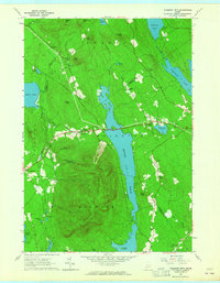
1963 Map of Pleasant Mtn
USGS Topo · Published 1965About this map
Pleasant Mountain dominates the southern landscape of this mid-century survey, its slopes rising sharply above the waters of Moose Pond. The map reveals a rural Maine interior where the topography is defined by significant ridges like Hio Ridge and high points such as Plummer Mtn and Black Mtn. Settlement is concentrated in small pockets like West Bridgton, East Fryeburg, and Liberty Corner, often linked by early roads winding through the lowlands and valleys.
Find a feature on this map
64 named features on this map. Tap any name to fly to it.
Don’t see what you’re looking for? This feature index may not catch every label — zoom into the map to look around manually.
Map Details
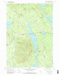
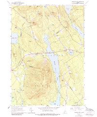
Editions of this 1963 Pleasant Mtn Map
3 editions found
Other maps of this area

1896 · Norway
USGS Topo · 1:62,500

1896 · Sebago
USGS Topo · 1:62,500

1909 · Fryeburg
USGS Topo · 1:62,500

1910 · Kezar Falls
USGS Topo · 1:48,000

1911 · Fryeburg
USGS Topo · 1:62,500

1911 · Kezar Falls
USGS Topo · 1:62,500

1941 · Fryeburg
USGS Topo · 1:62,500

1942 · Sebago Lake
USGS Topo · 1:62,500

1943 · Sebago Lake
USGS Topo · 1:62,500

1946 · Norway
USGS Topo · 1:62,500