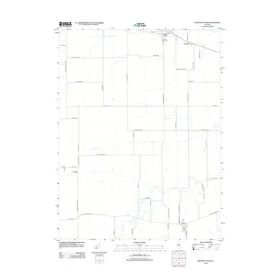
2012 Map of Pleasant Plains
USGS Topo · Published 2012About this map
Pleasant Plains and the neighboring settlements of Claysville and Berlin anchor this portion of Sangamon County, where the landscape is defined by the headwaters and meandering courses of Richland Cr, Prairie Cr, and Spring Cr. The region's agricultural character is evidenced by a dense network of country roads bearing established family and descriptive names, such as Yankee Town Rd, Walbaum Rd, and Mahoney Rd. Local heritage is preserved in several rural burial grounds, including Pleasant Plains Cem, Irwin Cem, and Berlin Cem, which provide valuable touchpoints for genealogical research. The presence of the Smith RLA Airport highlights the persistence of small-scale aviation within this predominantly rural corridor west of the state capital.
Find a feature on this map
55 named features on this map. Tap any name to fly to it.
Don’t see what you’re looking for? This feature index may not catch every label — zoom into the map to look around manually.
Map Details
Editions of this 2012 Pleasant Plains Map
This is the sole edition of this map. No revisions or reprints were ever made.
Other maps of this area

1909 · Tallula
USGS Topo · 1:62,500

1924 · Waverly
USGS Topo · 1:62,500

1926 · Waverly
USGS Topo · 1:62,500

1932 · Jacksonville
USGS Topo · 1:62,500

1932 · Virginia
USGS Topo · 1:62,500

1936 · Virginia
USGS Topo · 1:62,500

1937 · Jacksonville
USGS Topo · 1:62,500

1940 · Tallula
USGS Topo · 1:62,500

1948 · Quincy
USGS Topo · 1:250,000

1956 · Quincy
USGS Topo · 1:250,000