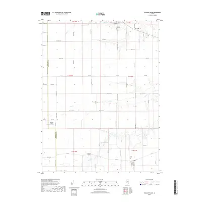
2018 Map of Pleasant Plains
USGS Topo · Published 2018About this map
Pleasant Plains and Berlin anchor this central Illinois landscape, reflecting a long-standing agricultural pattern defined by the Public Land Survey System. The grid-like road network, including Yankee Town Rd and Old Homestead Rd, illustrates the efficient parceling of Sangamon County prairie for farming. Local genealogy is well-preserved through several established burial grounds such as Wood Wreath Island Grove Cem and Pleasant Plains Cem, which serve as quiet markers of the area's early settlers. The drainage of the till plain is traced by the winding paths of Richland Cr and Prairie Cr, while the small Smith RLA Airport represents the modernization of rural transportation. This 2018 survey captures the enduring character of these communities, where small settlements like Claysville remain connected by historical county routes.
Find a feature on this map
70 named features on this map. Tap any name to fly to it.
Don’t see what you’re looking for? This feature index may not catch every label — zoom into the map to look around manually.
Map Details
Editions of this 2018 Pleasant Plains Map
This is the sole edition of this map. No revisions or reprints were ever made.
Other maps of this area

1909 · Tallula
USGS Topo · 1:62,500

1924 · Waverly
USGS Topo · 1:62,500

1926 · Waverly
USGS Topo · 1:62,500

1932 · Jacksonville
USGS Topo · 1:62,500

1932 · Virginia
USGS Topo · 1:62,500

1936 · Virginia
USGS Topo · 1:62,500

1937 · Jacksonville
USGS Topo · 1:62,500

1940 · Tallula
USGS Topo · 1:62,500

1948 · Quincy
USGS Topo · 1:250,000

1956 · Quincy
USGS Topo · 1:250,000