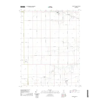
2021 Map of Pleasant Plains
USGS Topo · Published 2021About this map
Pleasant Plains and the smaller settlements of Berlin and Claysville anchor this Sangamon County landscape, where the flat upland prairie is deeply etched by a series of south-flowing drainage systems. The map captures the geometric precision of the Illinois prairie's road network, with routes like Old Homestead Rd and Yankee Town Rd following section lines through productive farmland.
Find a feature on this map
63 named features on this map. Tap any name to fly to it.
Don’t see what you’re looking for? This feature index may not catch every label — zoom into the map to look around manually.
Map Details
Editions of this 2021 Pleasant Plains Map
This is the sole edition of this map. No revisions or reprints were ever made.
Other maps of this area

1909 · Tallula
USGS Topo · 1:62,500

1924 · Waverly
USGS Topo · 1:62,500

1926 · Waverly
USGS Topo · 1:62,500

1932 · Jacksonville
USGS Topo · 1:62,500

1932 · Virginia
USGS Topo · 1:62,500

1936 · Virginia
USGS Topo · 1:62,500

1937 · Jacksonville
USGS Topo · 1:62,500

1940 · Tallula
USGS Topo · 1:62,500

1948 · Quincy
USGS Topo · 1:250,000

1956 · Quincy
USGS Topo · 1:250,000