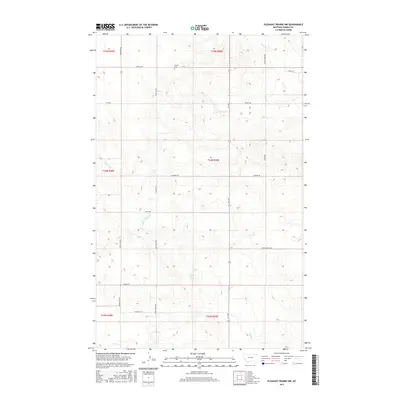
2017 Map of Pleasant Prairie NW
USGS Topo · Published 2017About this map
Orville Cem serves as a lone cultural landmark within this corner of the Poplar District, situated along the northern reaches of the quadrangle. The landscape is defined by the dendritic drainage patterns of Eagle Cr and the multi-branched Smoke Cr, which carve through the high plains of northeastern Montana. The survey illustrates a meticulous grid of rural infrastructure, where long-established paths like the Mail Route Rd and the R-Y Trl intersect with family-named corridors such as Vaubel Rd, W Bjerke Rd, and Kurtz Rd. This network of section-line roads and named tracks reflects the enduring ranching and farming divisions of the Big Sky country, showing how modern transportation still follows the historical township and range boundaries established in the late 19th century.
Find a feature on this map
26 named features on this map. Tap any name to fly to it.
Don’t see what you’re looking for? This feature index may not catch every label — zoom into the map to look around manually.
Map Details
Editions of this 2017 Pleasant Prairie NW Map
This is the sole edition of this map. No revisions or reprints were ever made.
Other maps of this area

1954 · Wolf Point
USGS Topo · 1:250,000

1958 · Wolf Point
USGS Topo · 1:250,000

1973 · Madoc
USGS Topo · 1:24,000

1973 · Flaxville
USGS Topo · 1:24,000

1973 · Bredette
USGS Topo · 1:24,000

1973 · Navajo
USGS Topo · 1:24,000

1973 · Line Coulee
USGS Topo · 1:24,000

1973 · Pleasant Prairie
USGS Topo · 1:24,000

1973 · Pleasant Prairie NW
USGS Topo · 1:24,000

1973 · Pleasant Prairie SW
USGS Topo · 1:24,000