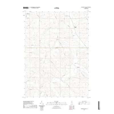
2021 Map of Pleasant Valley
USGS Topo · Published 2021About this map
The Plum River and its various branches, including the Muddy Plum River and E Plum River, define the undulating landscape of this border region between Jo Daviess and Carroll counties. The rural settlement pattern is anchored by the small communities of Pleasant Valley and Polsgrove, while the northwestern corner is occupied by Massbach. This terrain is characterized by a dense network of local roads following the drainage of Camp Cr and Scrub Cr, highlighting the area's agricultural heritage and the persistence of historic pathways like the Old Galena Trl.
Find a feature on this map
45 named features on this map. Tap any name to fly to it.
Don’t see what you’re looking for? This feature index may not catch every label — zoom into the map to look around manually.
Map Details
Editions of this 2021 Pleasant Valley Map
This is the sole edition of this map. No revisions or reprints were ever made.
Other maps of this area

1892 · Savanna
USGS Topo · 1:62,500

1911 · Elizabeth
USGS Topo · 1:62,500

1936 · Elizabeth
USGS Topo · 1:62,500

1937 · Lena
USGS Topo · 1:48,000

1942 · Mt Carroll
USGS Topo · 1:62,500

1942 · Lena
USGS Topo · 1:62,500

1943 · Lena
USGS Topo · 1:62,500

1944 · Mt Carroll
USGS Topo · 1:62,500

1952 · Savanna
USGS Topo · 1:62,500

1953 · Blackhawk
USGS Topo · 1:24,000