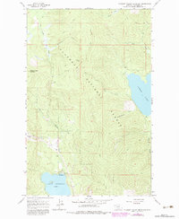
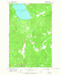
1964 Map of Pleasant Valley Mountain
USGS Topo · Published 1983About this map
Ashley Lake and Little Bitterroot Lake anchor this 1960s survey of the mountain-and-forest landscape in western Montana. Much of the terrain is defined by the Flathead National Forest, where a system of primitive paths including the Pack Trail and Jeep Trail provide the primary means of navigation through the timbered slopes. The geography is carved by several drainages, most notably Logan Creek and Herrig Creek, which flow through the high country surrounding Pleasant Valley Mountain.
Find a feature on this map
19 named features on this map. Tap any name to fly to it.
Don’t see what you’re looking for? This feature index may not catch every label — zoom into the map to look around manually.
Map Details
Editions of this 1964 Pleasant Valley Mountain Map
2 editions found
Other maps of this area

1957 · Kalispell
USGS Topo · 1:250,000

1960 · Kalispell
USGS Topo · 1:250,000

1961 · Kalispell
USGS Topo · 1:250,000

1962 · Lost Creek Divide
USGS Topo · 1:24,000

1962 · Ashley Mountain
USGS Topo · 1:24,000

1963 · Sylvia Lake
USGS Topo · 1:24,000
1964 · Lone Lake
USGS Topo · 1:24,000
1964 · Haskill Mountain
USGS Topo · 1:24,000
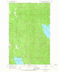
1964 · Pleasant Valley Mountain
USGS Topo · 1:24,000
1964 · Marion
USGS Topo · 1:24,000