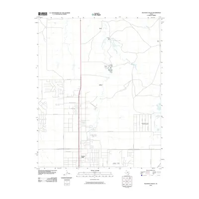
2010 Map of Pleasant Valley
USGS Topo · Published 2010About this map
Pleasant Valley and the northern outskirts of Amarillo are depicted here just as the new millennium's first decade drew to a close. This Texas Panhandle landscape is defined by the intersection of residential expansion and industrial activity, anchored by the Amarillo Speed Bowl and a significant Caliche Quarry in the southern portion of the quadrangle. The terrain is carved by the intermittent drainage of East Amarillo Creek and Indian Creek, while larger water features like 6 Section Lake and the Southwestern Public Service Lake Dam suggest the region's managed water resources.
Find a feature on this map
34 named features on this map. Tap any name to fly to it.
Don’t see what you’re looking for? This feature index may not catch every label — zoom into the map to look around manually.
Map Details
Editions of this 2010 Pleasant Valley Map
This is the sole edition of this map. No revisions or reprints were ever made.
Other maps of this area

1934 · Cliffside
USGS Topo · 1:62,500

1936 · Cliffside
USGS Topo · 1:62,500

1953 · Chunky
USGS Topo · 1:24,000

1953 · Puente
USGS Topo · 1:24,000

1953 · Pleasant Valley
USGS Topo · 1:24,000

1953 · Mayer
USGS Topo · 1:24,000

1953 · Cliffside
USGS Topo · 1:24,000

1953 · Berry Sand Draw
USGS Topo · 1:24,000

1954 · Amarillo
USGS Topo · 1:250,000

1956 · Amarillo East
USGS Topo · 1:24,000