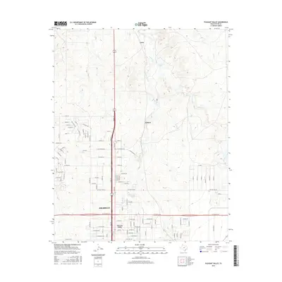
2016 Map of Pleasant Valley
USGS Topo · Published 2016About this map
Amarillo's northern expansion is the focus of this survey, where the city's residential grid meets the drainage systems of the Texas Panhandle. The neighborhood of Pleasant Valley occupies the southern portion of the sheet, characterized by a dense network of streets such as Broadway Dr and N Georgia St. To the north, the landscape opens into more sparse development near the settlements of Juilliard and Gluck.
Find a feature on this map
103 named features on this map. Tap any name to fly to it.
Don’t see what you’re looking for? This feature index may not catch every label — zoom into the map to look around manually.
Map Details
Editions of this 2016 Pleasant Valley Map
This is the sole edition of this map. No revisions or reprints were ever made.
Other maps of this area

1934 · Cliffside
USGS Topo · 1:62,500

1936 · Cliffside
USGS Topo · 1:62,500

1953 · Chunky
USGS Topo · 1:24,000

1953 · Puente
USGS Topo · 1:24,000

1953 · Pleasant Valley
USGS Topo · 1:24,000

1953 · Mayer
USGS Topo · 1:24,000

1953 · Cliffside
USGS Topo · 1:24,000

1953 · Berry Sand Draw
USGS Topo · 1:24,000

1954 · Amarillo
USGS Topo · 1:250,000

1956 · Amarillo East
USGS Topo · 1:24,000