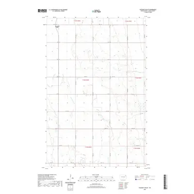
2020 Map of Pleasant Valley
USGS Topo · Published 2020About this map
Pleasant Valley sits at the northwestern edge of this 2020 landscape in Walsh County, serving as a primary point of reference in an area defined by the meandering course of the N Br Forest River. This branch of the river cuts diagonally through the central and southern portions of the map, creating a distinct topographical signature amidst a highly organized grid of rural roads and section lines. The map details the modern infrastructure of the region, including the transit corridor of Co Hwy 19 and several county routes such as Co Rd 12B and Co Rd 15. The agricultural character of the territory is evident through the systematic layout of townships like t156n r56w, where the intersection of natural drainage and human planning is clearly visible along Prairie Trl and various numbered streets.
Find a feature on this map
20 named features on this map. Tap any name to fly to it.
Don’t see what you’re looking for? This feature index may not catch every label — zoom into the map to look around manually.
Map Details
Editions of this 2020 Pleasant Valley Map
This is the sole edition of this map. No revisions or reprints were ever made.
Other maps of this area

1952 · Thief River Falls
USGS Topo · 1:250,000

1956 · Thief River Falls
USGS Topo · 1:250,000

1957 · Thief River Falls
USGS Topo · 1:250,000

1963 · Edinburg
USGS Topo · 1:24,000

1963 · Pleasant Valley
USGS Topo · 1:24,000

1963 · Pisek
USGS Topo · 1:24,000

1963 · Fordville
USGS Topo · 1:24,000

1963 · Park River
USGS Topo · 1:24,000
1963 · Inkster
USGS Topo · 1:24,000

1967 · Thief River Falls
USGS Topo · 1:250,000