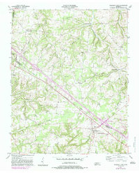
1957 Map of Pleasant View
USGS Topo · Published 1983About this map
Pleasant View and its surrounding rural landscapes are captured here during a period of transition as modern infrastructure began to bisect traditional settlement patterns. The map highlights numerous small communities and crossroads such as Stroudville, Turnersville, and Sandy Springs, many defined by their proximity to local watercourses like Millers Creek and Honey Run. This area, spanning the borders of Montgomery, Robertson, and Cheatham counties, is densely dotted with centers of early local life, including Heads Ch, Oaklawn Ch, and Brewer Chapel.
Find a feature on this map
30 named features on this map. Tap any name to fly to it.
Don’t see what you’re looking for? This feature index may not catch every label — zoom into the map to look around manually.
Map Details
Editions of this 1957 Pleasant View Map
3 editions found
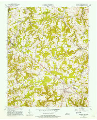
Other maps of this area

1903 · Nashville
USGS Topo · 1:125,000

1931 · Ridgetop
USGS Topo · 1:62,500

1935 · Ridgetop
USGS Topo · 1:62,500

1952 · Springfield North
USGS Topo · 1:24,000

1955 · Forest Grove
USGS Topo · 1:24,000

1956 · Nashville
USGS Topo · 1:250,000

1957 · Cheatham Dam
USGS Topo · 1:24,000

1957 · Adams
USGS Topo · 1:24,000

1957 · Pleasant View
USGS Topo · 1:24,000

1957 · Henrietta
USGS Topo · 1:24,000