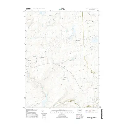
2016 Map of Pleasant View Summit
USGS Topo · Published 2016About this map
Stoddartsville and the Lehigh River define the southern border of this landscape, marking a historic crossing point where the river separates Luzerne, Carbon, and Monroe counties. This 2016 survey illustrates the high plateau of the Pocono region, characterized by an intricate network of wetlands and small lakes like Bear Lake, Mud Pond, and Kiel Lake. The terrain is punctuated by significant elevations such as Bald Mtn and Dry Land Hill, which rise above the surrounding marshes including Balsam Swamp and Horseshoe Swamp.
Find a feature on this map
59 named features on this map. Tap any name to fly to it.
Don’t see what you’re looking for? This feature index may not catch every label — zoom into the map to look around manually.
Map Details
Editions of this 2016 Pleasant View Summit Map
This is the sole edition of this map. No revisions or reprints were ever made.
Other maps of this area

1889 · Scranton
USGS Topo · 1:62,500

1891 · Wilkesbarre
USGS Topo · 1:62,500

1891 · Scranton
USGS Topo · 1:62,500

1893 · Pittston
USGS Topo · 1:62,500

1893 · Scranton
USGS Topo · 1:62,500

1894 · Wilkesbarre
USGS Topo · 1:62,500

1922 · Stoddartsville
USGS Topo · 1:62,500

1924 · Stoddartsville
USGS Topo · 1:62,500

1943 · Scranton
USGS Topo · 1:125,000

1943 · Stoddartsville
USGS Topo · 1:62,500
Featured Places
- Thornhurst Township, PA
- Kidder Township, PA
- Buck Township, PA
- Bear Creek Township, PA
- Tobyhanna Township, PA