Loading...
Loading map...1906 Map of Pleasanton
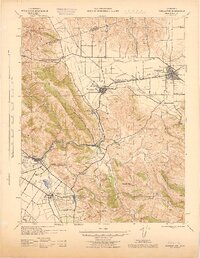
USGS Topo · Published 1911About this map
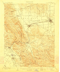
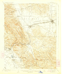
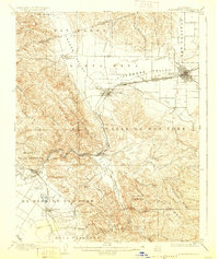
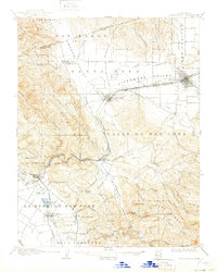
The Livermore Valley and Santa Rita Valley dominate the landscape of this early twentieth-century survey, revealing a region defined by extensive land grants and a growing rail network. The Southern Pacific and the Niles and Sacramento Line intersect at key hubs like Pleasanton and Livermore, facilitating the movement of goods and people through the Sunol Valley. In the southwest, the historic Ex Mission San Jose land grant remains a prominent feature, with the settlement of Mission San Jose located at the base of Mission Pk.
Find a feature on this map
67 named features on this map. Tap any name to fly to it.
Don’t see what you’re looking for? This feature index may not catch every label — zoom into the map to look around manually.
Map Details
Date Portrayed1906
Date Published1911
PublisherU.S. Geological Survey
Map TypeTopographic
Scale1:62,500
Physical Dimensions16.6 x 19.8 inches
Editions of this 1906 Pleasanton Map
5 editions found

Historical Maps of Fremont Through Time
3 maps found

Featured Locations
Source Details
SourceU.S. Geological Survey
CopyrightPublic Domain