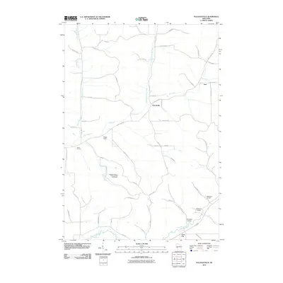
2010 Map of Pleasantville
USGS Topo · Published 2010About this map
Pleasantville and the surrounding coulee country of Trempealeau County are defined by a network of dendritic waterways that have carved out the local terrain. The drainage patterns of Elk Creek, North Branch Elk Creek, and Bruce Valley Creek dictate the placement of local roads and settlements like Hale and Sleepy Valley. This landscape transition is most evident near the Whitehall Pigeon Rod Gun Club G7439 Dam, where the terrain begins to slope toward the broader Trempealeau River valley.
Find a feature on this map
51 named features on this map. Tap any name to fly to it.
Don’t see what you’re looking for? This feature index may not catch every label — zoom into the map to look around manually.
Map Details
Editions of this 2010 Pleasantville Map
This is the sole edition of this map. No revisions or reprints were ever made.
Other maps of this area

1926 · Whitehall
USGS Topo · 1:62,500

1927 · Blair
USGS Topo · 1:62,500

1927 · Strum
USGS Topo · 1:62,500

1929 · Whitehall
USGS Topo · 1:62,500

1930 · Strum
USGS Topo · 1:62,500

1935 · Osseo
USGS Topo · 1:48,000

1940 · Osseo
USGS Topo · 1:62,500

1953 · Eau Claire
USGS Topo · 1:250,000

1958 · Eau Claire
USGS Topo · 1:250,000

1964 · Eau Claire
USGS Topo · 1:250,000