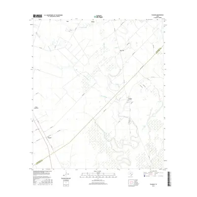
2016 Map of Pledger
USGS Topo · Published 2016About this map
Caney Cr winds through the heart of this landscape, its serpentine path defining the coastal prairie of the Wharton and Matagorda County line. The settlement of Pledger serves as a central hub, where FM 1728 and Co Rd 118 converge near the Union Cem. To the north and west, the smaller communities of Don-Tol, Magnet, and Cane Junction are connected by a network of farm roads like FM 442 Rd and Barbee Rd. The terrain is marked by distinct hydrological features such as Quinine Slough, Gardner Slough, and the expansive Big Lake. These waterways and sloughs suggest a low-lying, flood-prone environment where local agriculture and land use were historically dictated by the natural drainage of the Gulf Coast region. This survey captures a moment when the rural character of the Texas prairie remained largely intact, punctuated by small township clusters and isolated burial grounds.
Find a feature on this map
44 named features on this map. Tap any name to fly to it.
Don’t see what you’re looking for? This feature index may not catch every label — zoom into the map to look around manually.
Map Details
Editions of this 2016 Pledger Map
This is the sole edition of this map. No revisions or reprints were ever made.
Other maps of this area

1950 · Houston
USGS Topo · 1:250,000

1952 · Danciger
USGS Topo · 1:24,000

1952 · Ashwood
USGS Topo · 1:24,000

1952 · Lane City SE
USGS Topo · 1:24,000

1952 · Pledger
USGS Topo · 1:24,000

1952 · Lane City
USGS Topo · 1:24,000

1952 · Van Vleck
USGS Topo · 1:24,000

1953 · Guy
USGS Topo · 1:24,000

1953 · Wharton
USGS Topo · 1:24,000

1953 · Boling
USGS Topo · 1:24,000