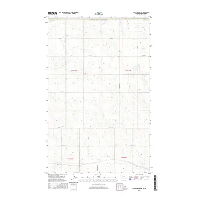
2017 Map of Plentywood NW
USGS Topo · Published 2017About this map
Sheridan County ranching country meets the international border in this 2017 survey of the high plains north of Plentywood. The landscape is defined by the ephemeral drainages of Plentywood Cr and Harrys Cr, which carve through a terrain of subtle rises and named overlooks. Evidence of the region’s development is centered on a grid of local roads and the path of the Soo Line Rd cutting across the southern sections. Notable local landmarks such as Chalk Butte Rd and Hendrickson Hill Rd suggest the importance of specific family holdings and geological features in this northern Montana expanse. The survey reflects a contemporary view of the Public Land Survey System, illustrating the township and range divisions near the boundary with Canada.
Find a feature on this map
20 named features on this map. Tap any name to fly to it.
Don’t see what you’re looking for? This feature index may not catch every label — zoom into the map to look around manually.
Map Details
Editions of this 2017 Plentywood NW Map
This is the sole edition of this map. No revisions or reprints were ever made.
Other maps of this area

1954 · Wolf Point
USGS Topo · 1:250,000

1958 · Wolf Point
USGS Topo · 1:250,000

1983 · Plentywood NW
USGS Topo · 1:24,000

1983 · Outlook
USGS Topo · 1:24,000

1983 · Archer
USGS Topo · 1:24,000

1983 · Plentywood
USGS Topo · 1:24,000

1983 · Raymond
USGS Topo · 1:24,000
1983 · Plentywood SW
USGS Topo · 1:24,000
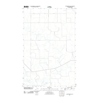
2011 · Plentywood SW
USGS Topo · 1:24,000
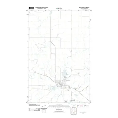
2011 · Plentywood
USGS Topo · 1:24,000