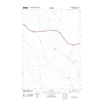
2012 Map of Ploessers Draw
USGS Topo · Published 2012About this map
Ploessers Draw characterizes the high plains of the Johnson and Wyoming county borderlands, where a complex network of ephemeral drainages and intermittent creeks defines the land use. The presence of Indian Creek Ranch in the southeast corner indicates the enduring ranching economy of this arid region. Water management is central to life here, evidenced by several catchments including Indian Creek Reservoir and Alexander Reservoir, alongside natural features like Ploessers Dry Lake.
Find a feature on this map
15 named features on this map. Tap any name to fly to it.
Don’t see what you’re looking for? This feature index may not catch every label — zoom into the map to look around manually.
Map Details
Editions of this 2012 Ploessers Draw Map
This is the sole edition of this map. No revisions or reprints were ever made.
Other maps of this area

1955 · Sheridan
USGS Topo · 1:250,000

1958 · Sheridan
USGS Topo · 1:250,000

1962 · Sheridan
USGS Topo · 1:250,000
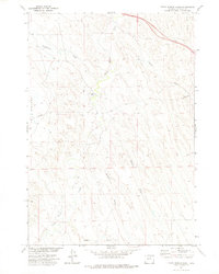
1972 · Crazy Woman Ranch
USGS Topo · 1:24,000
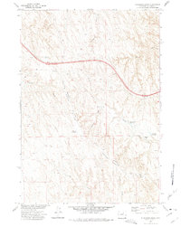
1972 · Ploessers Draw
USGS Topo · 1:24,000
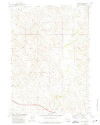
1972 · Pine Gulch
USGS Topo · 1:24,000
1972 · Bear Draw
USGS Topo · 1:24,000
1972 · Somerville Flats West
USGS Topo · 1:24,000
1972 · Brown Ranch
USGS Topo · 1:24,000
1972 · Bowman Flat
USGS Topo · 1:24,000