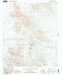
1990 Map of Plomosa Pass
USGS Topo · Published 1990About this map
The Plomosa Mountains dominate this landscape of the Sonoran Desert, defined by a complex network of ephemeral drainage systems and mining claims. Arid water features like Lazarus Tanks and the winding Italian Wash provided critical points of reference in a terrain where extraction was the primary driver of human activity. The map reveals an intensive history of prospecting, with numerous shafts and adits concentrated near Guadalupe Mountain and Scaddan Mountain.
Find a feature on this map
37 named features on this map. Tap any name to fly to it.
Don’t see what you’re looking for? This feature index may not catch every label — zoom into the map to look around manually.
Map Details
Editions of this 1990 Plomosa Pass Map
2 editions found
Other maps of this area

1930 · Linskey
USGS Topo · 1:62,500

1942 · Blythe
USGS Topo · 1:250,000

1942 · Vicksburg
USGS Topo · 1:250,000

1954 · Salton Sea
USGS Topo · 1:250,000

1954 · Phoenix
USGS Topo · 1:250,000

1955 · Salton Sea
USGS Topo · 1:250,000

1957 · Phoenix
USGS Topo · 1:250,000

1958 · Phoenix
USGS Topo · 1:250,000

1959 · Salton Sea
USGS Topo · 1:250,000

1960 · Phoenix
USGS Topo · 1:250,000