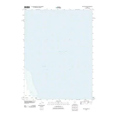
2011 Map of Plug Peak NW
USGS Topo · Published 2011About this map
Great Salt Lake dominates this 2011 map, showing the expansive waters of the inland sea and the narrow passage known as the Fremont Strait. The landforms depicted are concentrated in the southwestern corner, where the northern tip of Stansbury Island rises from the water. This isolated terrain is marked by the rugged drainage of Pass Canyon, which terminates near the shoreline at Morgan Point. The presence of Pass Canyon Spring provides a rare point of named freshwater in this saline environment, illustrating the sparse but critical resources of the Great Basin landscape. This survey provides a clean, modern view of the shoreline and bathymetry in the years following the turn of the millennium.
Find a feature on this map
6 named features on this map. Tap any name to fly to it.
Don’t see what you’re looking for? This feature index may not catch every label — zoom into the map to look around manually.
Map Details
Editions of this 2011 Plug Peak NW Map
This is the sole edition of this map. No revisions or reprints were ever made.
Other maps of this area

1885 · Tooele Valley
USGS Topo · 1:250,000

1953 · Tooele
USGS Topo · 1:250,000

1954 · Brigham City
USGS Topo · 1:250,000

1955 · Tooele
USGS Topo · 1:250,000

1958 · Brigham City
USGS Topo · 1:250,000

1962 · Brigham City
USGS Topo · 1:250,000

1968 · Plug Peak SE
USGS Topo · 1:24,000

1968 · Plug Peak NW
USGS Topo · 1:24,000

1968 · Fremont Island SW
USGS Topo · 1:24,000

1968 · Badger Island
USGS Topo · 1:24,000