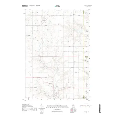
2018 Map of Plum City
USGS Topo · Published 2018About this map
Plum City serves as the primary hub of this landscape, situated at the confluence of Plum Cr and Rush Coulee. This area of western Wisconsin is defined by a dense network of coulees and ridges, where narrow valley floors provide the foundation for settlements like Exile and Rock Elm. The map reveals a highly structured rural community, with cemeteries such as Poplar Hill Cem and Farm Hill Catholic Cem marking the historical centers of family and parish life.
Find a feature on this map
42 named features on this map. Tap any name to fly to it.
Don’t see what you’re looking for? This feature index may not catch every label — zoom into the map to look around manually.
Map Details
Editions of this 2018 Plum City Map
This is the sole edition of this map. No revisions or reprints were ever made.
Other maps of this area

1935 · Arkansaw
USGS Topo · 1:48,000

1940 · Maiden Rock
USGS Topo · 1:62,500

1941 · Arkansaw
USGS Topo · 1:62,500

1942 · Arkansaw
USGS Topo · 1:62,500

1946 · Knapp
USGS Topo · 1:62,500

1949 · Knapp
USGS Topo · 1:62,500

1949 · Baldwin
USGS Topo · 1:62,500

1950 · Maiden Rock
USGS Topo · 1:62,500

1953 · Saint Paul
USGS Topo · 1:250,000

1959 · Saint Paul
USGS Topo · 1:250,000