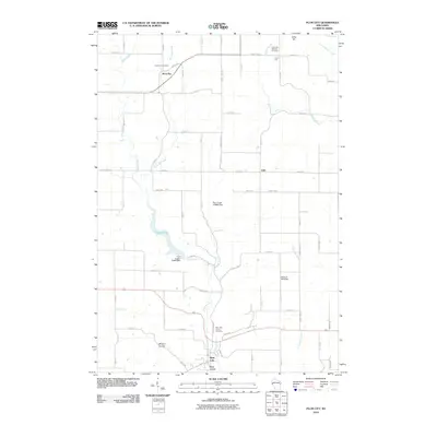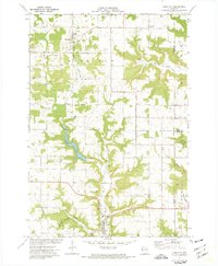
1972 Map of Plum City
USGS Topo · Published 1975About this map
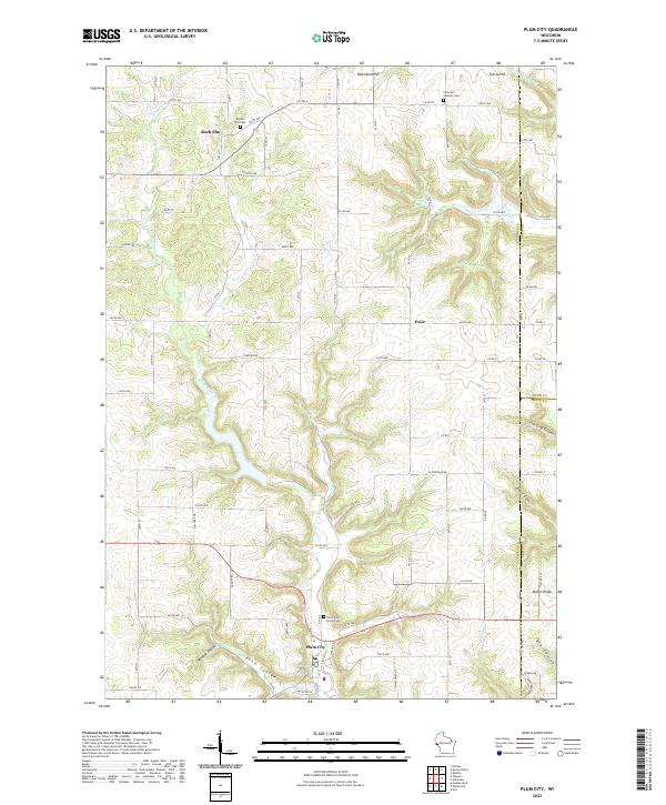
Plum City serves as a focal point in this 1972 survey, situated along Plum Creek where the local topography transitions into the steep ravines of Rush Coulee and Wildcat Coulee. The landscape is characterized by a mix of upland ridges and deeply incised valleys, including Joe Gray Coulee and the distinct landmark of Devils Gate near Maple Ridge. This era of the Pierce County countryside shows a rural economy supported by several Quarry and Sandpit operations, interspersed with long-established community centers like Rock Elm and the settlement of Exile.
Find a feature on this map
25 named features on this map. Tap any name to fly to it.
Don’t see what you’re looking for? This feature index may not catch every label — zoom into the map to look around manually.
Map Details
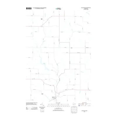
Editions of this 1972 Plum City Map
This is the sole edition of this map. No revisions or reprints were ever made.
Historical Maps of Eau Galle Through Time
6 maps found