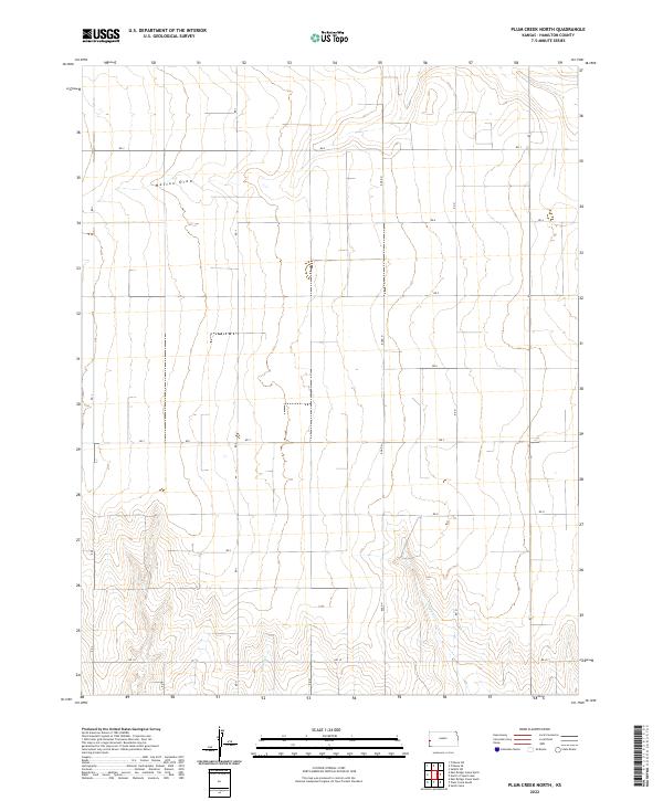
2022 Map of Plum Creek North
USGS Topo · Published 2022About this map
Mattox Draw cuts across the northern section of this landscape in Hamilton County, Kansas, representing the ephemeral drainage patterns characteristic of the High Plains. The terrain is structured by the Public Land Survey System, with township and range lines such as t21s r41w and t22s r41w defining large agricultural blocks. This geometric order is overlayed by a strictly gridded network of rural routes, including Rd J, Rd 3, and Rd N, which provide access to the expansive open acreage. In the southern portion of the sheet, the topography becomes more defined as it approaches Plum Cr and Sand Cr. These features indicate the subtle relief of the local watershed, where natural draws provide the only deviation from the systematic section roads. This map captures a quintessential Western Kansas landscape focused on land management and transportation within a vast prairie environment.
Find a feature on this map
19 named features on this map. Tap any name to fly to it.
Don’t see what you’re looking for? This feature index may not catch every label — zoom into the map to look around manually.
Map Details
Editions of this 2022 Plum Creek North Map
This is the sole edition of this map. No revisions or reprints were ever made.
Other maps of this area

1955 · Scott City
USGS Topo · 1:250,000

1958 · Scott City
USGS Topo · 1:250,000
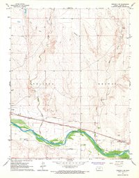
1966 · Tribune 3 SW
USGS Topo · 1:24,000

1966 · Tribune 4 NW
USGS Topo · 1:24,000
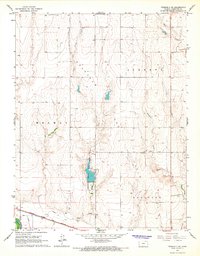
1966 · Tribune 3 SE
USGS Topo · 1:24,000
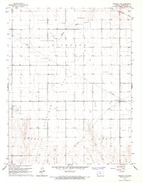
1966 · Tribune 3 NE
USGS Topo · 1:24,000
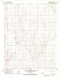
1966 · Tribune 4 SW
USGS Topo · 1:24,000
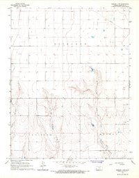
1966 · Tribune 3 NW
USGS Topo · 1:24,000

1970 · Selkirk SW
USGS Topo · 1:24,000

1970 · Tribune SE
USGS Topo · 1:24,000