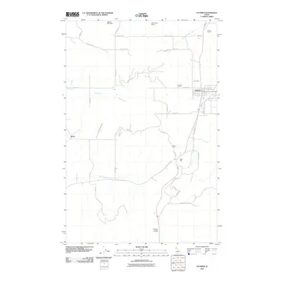
2010 Map of Plummer
USGS Topo · Published 2010About this map
The community of Plummer serves as the central hub of this northern Idaho landscape, where modern transportation corridors intersect with significant cultural and geographical landmarks. The town is flanked by unique sites like Hn'yalpq'i'nn and the Khwele' Grounds, reflecting the area's rich heritage. To the west, the settlement of Mowry sits near the base of Zurcher Mountain, while the northern reach is defined by the heights of Minkler Mountain and McCartney Butte.
Find a feature on this map
40 named features on this map. Tap any name to fly to it.
Don’t see what you’re looking for? This feature index may not catch every label — zoom into the map to look around manually.
Map Details
Editions of this 2010 Plummer Map
This is the sole edition of this map. No revisions or reprints were ever made.
Other maps of this area

1903 · Oakesdale
USGS Topo · 1:125,000

1905 · Oakesdale
USGS Topo · 1:125,000

1954 · Fairfield
USGS Topo · 1:62,500

1955 · Spokane
USGS Topo · 1:250,000

1957 · Plummer
USGS Topo · 1:62,500

1957 · Tensed
USGS Topo · 1:62,500

1958 · Spokane
USGS Topo · 1:250,000

1964 · Tekoa
USGS Topo · 1:24,000

1975 · Plummer NW
USGS Topo · 1:24,000

1975 · Plummer SE
USGS Topo · 1:24,000