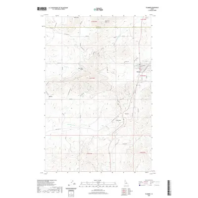
2020 Map of Plummer
USGS Topo · Published 2020About this map
Plummer serves as the primary hub of this landscape at the border of Kootenai and Benewah counties. The town's grid is established east of Plummer Creek, while the surrounding terrain is defined by dramatic elevation changes. Minkler Mountain and McCartney Butte dominate the northern horizons, giving way to the fertile stretches of Rock Creek Valley and Lovell Valley.
Find a feature on this map
67 named features on this map. Tap any name to fly to it.
Don’t see what you’re looking for? This feature index may not catch every label — zoom into the map to look around manually.
Map Details
Editions of this 2020 Plummer Map
This is the sole edition of this map. No revisions or reprints were ever made.
Other maps of this area

1903 · Oakesdale
USGS Topo · 1:125,000

1905 · Oakesdale
USGS Topo · 1:125,000

1954 · Fairfield
USGS Topo · 1:62,500

1955 · Spokane
USGS Topo · 1:250,000

1957 · Plummer
USGS Topo · 1:62,500

1957 · Tensed
USGS Topo · 1:62,500

1958 · Spokane
USGS Topo · 1:250,000

1964 · Tekoa
USGS Topo · 1:24,000

1975 · Plummer NW
USGS Topo · 1:24,000

1975 · Plummer SE
USGS Topo · 1:24,000