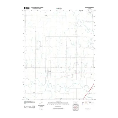
2010 Map of Plymouth
USGS Topo · Published 2010About this map
The Cottonwood River and Neosho River dominate this Lyon County landscape, where the meandering waterways dictate the placement of early road networks and settlements. The community of Plymouth sits at a strategic point near Beaver Creek, while the settlement of Toledo is positioned further west. The topographic detail highlights the persistent agricultural grid, segmented by numerous local routes such as RD 200 and RD 170, which connect disparate homesteads to the primary thoroughfare of W Old USHWY 50.
Find a feature on this map
44 named features on this map. Tap any name to fly to it.
Don’t see what you’re looking for? This feature index may not catch every label — zoom into the map to look around manually.
Map Details
Editions of this 2010 Plymouth Map
This is the sole edition of this map. No revisions or reprints were ever made.
Other maps of this area

1885 · Eskridge
USGS Topo · 1:125,000

1888 · Emporia
USGS Topo · 1:125,000

1889 · Eskridge
USGS Topo · 1:125,000

1894 · Emporia
USGS Topo · 1:125,000

1894 · Eskridge
USGS Topo · 1:125,000

1955 · Hutchinson
USGS Topo · 1:250,000

1957 · Emporia
USGS Topo · 1:24,000

1957 · Saffordville
USGS Topo · 1:24,000

1957 · Plymouth
USGS Topo · 1:24,000

1959 · Hutchinson
USGS Topo · 1:250,000