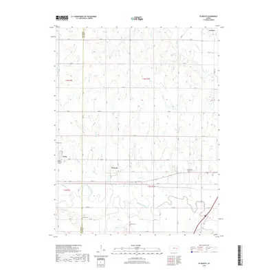
2018 Map of Plymouth
USGS Topo · Published 2018About this map
The Cottonwood River meanders in wide, complex loops across the southern half of this Lyon County landscape, creating a distinct floodplain that contrasts with the upland prairies. The settlement of Plymouth sits just north of these river bends, while the town of Americus occupies the northeastern corner where Pester Cr meets the Neosho River. This area is characterized by a high density of rural cemeteries, reflecting the generational deep-rootedness of the local community. Grandview Cem, Haworth Cem, and the Cottonwood Friends Cem provide significant points of interest for those researching local lineage. To the west, the village of Toledo stands near the Chase Co Lyon Co boundary line, marking the edge of the county's jurisdiction. The map also documents local infrastructure such as the Roberts Memorial Airport, which serves this agricultural region defined by a grid of rural roads like RD 170.
Find a feature on this map
43 named features on this map. Tap any name to fly to it.
Don’t see what you’re looking for? This feature index may not catch every label — zoom into the map to look around manually.
Map Details
Editions of this 2018 Plymouth Map
This is the sole edition of this map. No revisions or reprints were ever made.
Other maps of this area
1885 · Eskridge
USGS Topo · 1:125,000
1888 · Emporia
USGS Topo · 1:125,000
1889 · Eskridge
USGS Topo · 1:125,000
1894 · Emporia
USGS Topo · 1:125,000
1894 · Eskridge
USGS Topo · 1:125,000
1955 · Hutchinson
USGS Topo · 1:250,000
1957 · Emporia
USGS Topo · 1:24,000
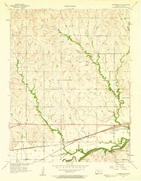
1957 · Saffordville
USGS Topo · 1:24,000
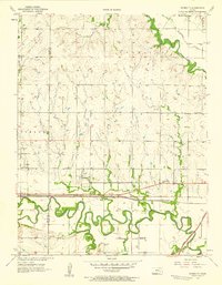
1957 · Plymouth
USGS Topo · 1:24,000
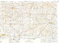
1959 · Hutchinson
USGS Topo · 1:250,000