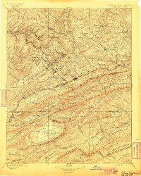
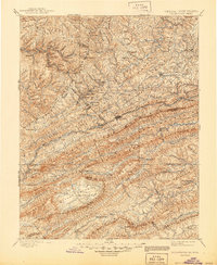
1895 Map of Pocahontas
USGS Topo · Published 1900About this map
The Norfolk and Western RR cuts through the heavy terrain of the central Appalachians on this late nineteenth-century survey, linking the mining and mountain communities of Virginia and West Virginia. Concentrated industrial activity is evident along the northern edge in settlements like Algoma, Eckman, and McDowell, while Bluefield and Graham serve as central nodes for the region's transport network. A unique geological feature, Burke Garden, appears as a distinct valley surrounded by the high ridges of Garden Mountain.
Find a feature on this map
121 named features on this map. Tap any name to fly to it.
Don’t see what you’re looking for? This feature index may not catch every label — zoom into the map to look around manually.
Map Details
Editions of this 1895 Pocahontas Map
6 editions found

Other maps of this area

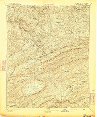
1887 · Pocahontas
USGS Topo · 1:125,000

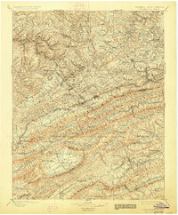
1887 · Hinton
USGS Topo · 1:125,000

1889 · Hillsville
USGS Topo · 1:125,000

1889 · Wytheville
USGS Topo · 1:125,000

1890 · Dublin
USGS Topo · 1:125,000

1891 · Tazewell
USGS Topo · 1:125,000

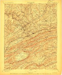
1891 · Pocahontas
USGS Topo · 1:125,000

1891 · Dublin
USGS Topo · 1:125,000

1891 · Oceana
USGS Topo · 1:125,000

1891 · Abingdon
USGS Topo · 1:125,000