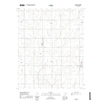
2018 Map of Pocasset
USGS Topo · Published 2018About this map
The agrarian landscape of Grady County centers on the twin settlements of Pocasset and Amber in this 2018 topographic survey. This section of Oklahoma is defined by a grid-like network of rural roads such as Dutton Rd and Malcolm Rd, which delineate the township and range boundaries including t9n r7w and t8n r7w. The drainage patterns are dominated by the W Fork Salt Cr and Salt Cr, whose winding paths are punctuated by several numbered catchment areas like 051022 Reservoir. For genealogists and local historians, the map provides precise locations for the Pocasset Cem and Amber Cem, documenting these community landmarks alongside the residential street plans of the two small towns.
Find a feature on this map
50 named features on this map. Tap any name to fly to it.
Don’t see what you’re looking for? This feature index may not catch every label — zoom into the map to look around manually.
Map Details
Editions of this 2018 Pocasset Map
This is the sole edition of this map. No revisions or reprints were ever made.
Other maps of this area

1893 · Buggy Creek
USGS Topo · 1:62,500

1893 · Minco
USGS Topo · 1:62,500

1904 · Chickasha
USGS Topo · 1:125,000

1945 · Anadarko
USGS Topo · 1:62,500

1954 · Oklahoma City
USGS Topo · 1:250,000

1955 · Clinton
USGS Topo · 1:250,000

1957 · Clinton
USGS Topo · 1:250,000

1957 · Oklahoma City
USGS Topo · 1:250,000

1963 · Oklahoma City
USGS Topo · 1:250,000
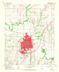
1966 · Chickasha
USGS Topo · 1:24,000