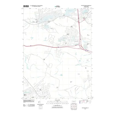
2010 Map of Pocono Pines
USGS Topo · Published 2010About this map
Pocono Pines and Pocono Summit serve as the primary residential anchors in this part of Monroe County, showing a landscape defined by significant recreational water bodies and planned communities. The map detail reflects the development patterns of the early 21st century, where large-scale impoundments like Lake Naomi and Stillwater Lake are surrounded by dense neighborhood street networks. These residential clusters, including Emerald Lakes and Sun Valley, contrast sharply with the more open terrain to the south and east. South of the main settlements, the land transitions into the gaps and ridges of the Pocono plateau. Features such as High Knob, Hypsy Gap, and Pohopoco Mountain dominate the southern portion of the sheet, where drainage systems like Tunkhannock Creek and Hypsy Creek carve through the topography. This survey captures the region's character as a mixture of seasonal retreats and year-round communities established around the local timber and ice-harvesting heritage.
Find a feature on this map
74 named features on this map. Tap any name to fly to it.
Don’t see what you’re looking for? This feature index may not catch every label — zoom into the map to look around manually.
Map Details
Editions of this 2010 Pocono Pines Map
This is the sole edition of this map. No revisions or reprints were ever made.
Other maps of this area

1914 · Wind Gap
USGS Topo · 1:62,500

1916 · Wind Gap
USGS Topo · 1:62,500

1919 · Pocono
USGS Topo · 1:62,500

1921 · Pocono
USGS Topo · 1:62,500

1922 · Mauch Chunk
USGS Topo · 1:62,500

1922 · Stoddartsville
USGS Topo · 1:62,500

1923 · Pocono
USGS Topo · 1:62,500

1924 · Stoddartsville
USGS Topo · 1:62,500

1924 · Mauch Chunk
USGS Topo · 1:62,500

1943 · Scranton
USGS Topo · 1:125,000
Featured Places
- Pocono Summit, Tobyhanna Township
- Long Pond, Tunkhannock Township
- Pocono Pines, Tobyhanna Township
- Emerald Lakes, PA
- Pocono Township, PA