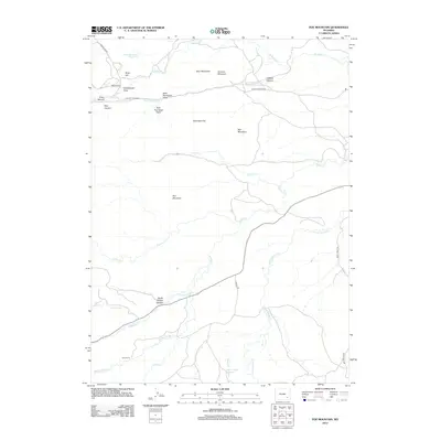
2012 Map of Poe Mountain
USGS Topo · Published 2012About this map
Poe Mountain dominates the center of this Wyoming landscape, where the waters of Sybille Cr and its various forks—including N Sybille Cr and Middle Sybille Cr—carve through deep canyons. The map documents a sparsely populated ranching region defined by large holdings such as the McGill Ranch and Lucy Ranch. The network of water management is visible through features like Grant Creek Reservoir and Dover Reservoir Number 2, which support the high-altitude terrain.
Find a feature on this map
34 named features on this map. Tap any name to fly to it.
Don’t see what you’re looking for? This feature index may not catch every label — zoom into the map to look around manually.
Map Details
Editions of this 2012 Poe Mountain Map
This is the sole edition of this map. No revisions or reprints were ever made.
Other maps of this area

1953 · Natwick SW
USGS Topo · 1:24,000

1953 · Squaw Rock
USGS Topo · 1:24,000

1954 · Cheyenne
USGS Topo · 1:250,000

1955 · Poe Mountain
USGS Topo · 1:24,000

1955 · Moonshine Peak
USGS Topo · 1:24,000

1955 · Indian Guide
USGS Topo · 1:24,000

1955 · Guide Rock
USGS Topo · 1:24,000

1955 · Sheep Rock
USGS Topo · 1:24,000

1955 · Bull Camp Peak
USGS Topo · 1:24,000

1958 · Cheyenne
USGS Topo · 1:250,000