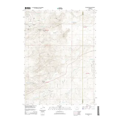
2015 Map of Poe Mountain
USGS Topo · Published 2015About this map
Clemons Ranch occupies a prominent position in the southern Laramie Mountains, situated amidst a complex drainage system where the Middle Sybille Creek and Little Creek converge. This 2015 survey reveals a landscape defined by significant water management and ranching operations, with several named reservoirs like Dover Reservoir Number 2 and Grant Creek Reservoir punctuating the high-altitude terrain. The topography is dominated by peaks such as Poe Mountain and Gold Hill, while a network of rural roads including Sybille Road and Mule Creek Road provides access through the winding corridors of Halleck Canyon and North Sybille Canyon. The map provides a clear picture of land divisions and the hydrologic importance of the Sybille Creek forks at the boundary of Albany and Platte counties.
Find a feature on this map
53 named features on this map. Tap any name to fly to it.
Don’t see what you’re looking for? This feature index may not catch every label — zoom into the map to look around manually.
Map Details
Editions of this 2015 Poe Mountain Map
This is the sole edition of this map. No revisions or reprints were ever made.
Other maps of this area

1953 · Natwick SW
USGS Topo · 1:24,000

1953 · Squaw Rock
USGS Topo · 1:24,000

1954 · Cheyenne
USGS Topo · 1:250,000

1955 · Poe Mountain
USGS Topo · 1:24,000

1955 · Moonshine Peak
USGS Topo · 1:24,000

1955 · Indian Guide
USGS Topo · 1:24,000

1955 · Guide Rock
USGS Topo · 1:24,000

1955 · Sheep Rock
USGS Topo · 1:24,000

1955 · Bull Camp Peak
USGS Topo · 1:24,000

1958 · Cheyenne
USGS Topo · 1:250,000