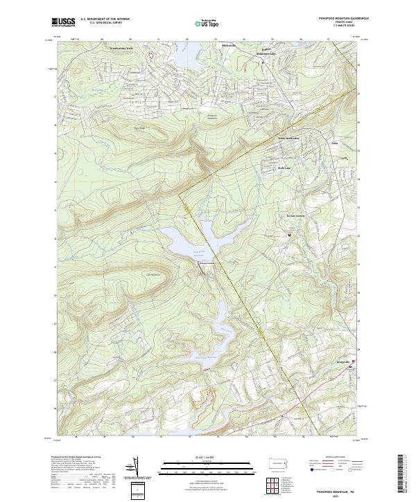
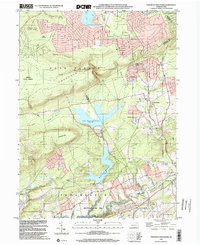
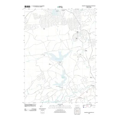
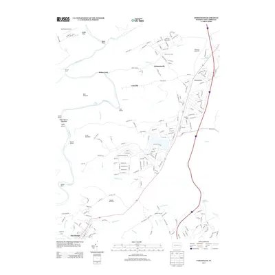
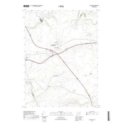
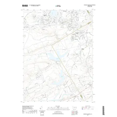
2023 Map of Pohopoco Mountain
USGS Topo · Published 2023About this map
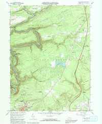
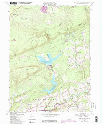
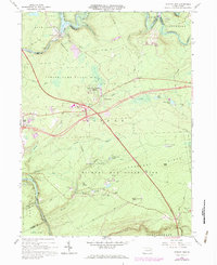
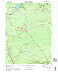
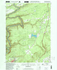
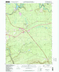
Pohopoco Mountain serves as a prominent landform in this modern study of the Pocono region, where the Carbon and Monroe county line bisects a landscape defined by significant water management and planned residential communities. Large-scale reservoirs, including the Penn Forest Reservoir and Wild Creek Reservoir, dominate the central basin, fed by streams such as Wild Creek and Hell Creek. These water bodies are flanked by established settlements and vacation communities, ranging from the dense street grids of Towamensing Trails and Indian Mountain Lake in the north to the more traditional crossroads of Dotters Corners and Kresgeville in the south.
Find a feature on this map
196 named features on this map. Tap any name to fly to it.
Don’t see what you’re looking for? This feature index may not catch every label — zoom into the map to look around manually.
Map Details
Editions of this 2023 Pohopoco Mountain Map
This is the sole edition of this map. No revisions or reprints were ever made.
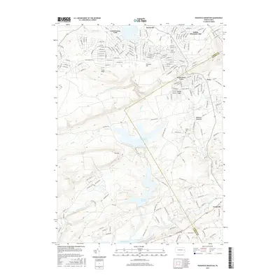
Historical Maps of Polk Township Through Time
29 maps found
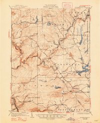
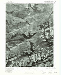
1922 Stoddartsville
Carbon County, PA
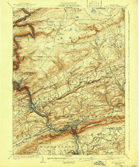
1924 Mauch Chunk
Carbon County, PA
1924 Stoddartsville
Carbon County, PA

1943 Mauch Chunk
Carbon County, PA

1943 Stoddartsville
Carbon County, PA
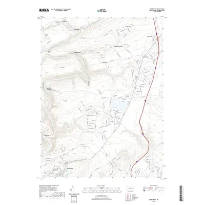
1960 Christmans
Carbon County, PA
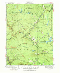
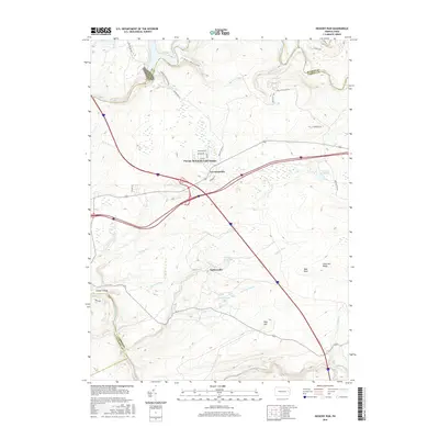
1960 Pohopco Mountain
Carbon County, PA
1966 Hickory Run
Carbon County, PA
1976 Hickory Run
Carbon County, PA
1976 Pohopco Mountain
Carbon County, PA
1992 Hickory Run
Carbon County, PA
1997 Christmans
Carbon County, PA
1997 Hickory Run
Carbon County, PA
1999 Pohopoco Mountain
Carbon County, PA
2010 Christmans
Carbon County, PA
2010 Hickory Run
Carbon County, PA
2010 Pohopoco Mountain
Carbon County, PA
2013 Christmans
Carbon County, PA
2013 Hickory Run
Carbon County, PA
2013 Pohopoco Mountain
Carbon County, PA
2016 Christmans
Carbon County, PA
2016 Hickory Run
Carbon County, PA
2016 Pohopoco Mountain
Carbon County, PA
2019 Christmans
Carbon County, PA
2019 Hickory Run
Carbon County, PA
2019 Pohopoco Mountain
Carbon County, PA
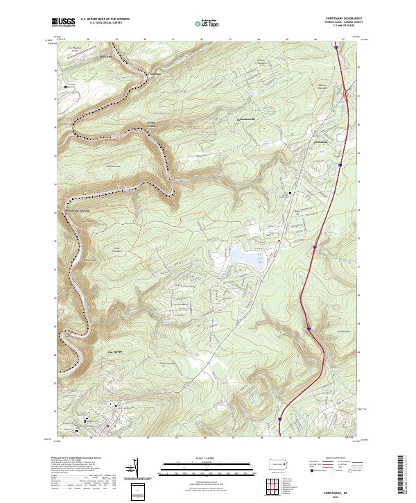
2023 Christmans
Carbon County, PA
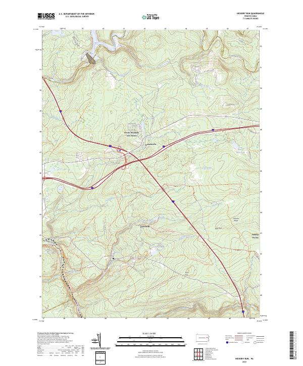
2023 Hickory Run
Carbon County, PA
2023 Pohopoco Mountain
Carbon County, PA
Featured Locations
- Penn Forest Township, PA
- Eldred Township, PA
- Tunkhannock Township, PA
- Polk Township, PA
- Trachsville, Towamensing Township