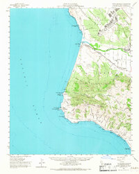
1959 Map of Point Arguello
USGS Topo · Published 1967About this map
Vandenberg Air Force Base and the U S Naval Missile Facility Point Arguello dominate this coastal landscape, reflecting the era's Cold War expansion along the Santa Barbara shoreline. The Southern Pacific railroad hugs the coast, serving a series of small stations and sidings such as Surf, Honda, and Arlight. This coastal transit corridor provides a clear view of the region before the intensifying security of the space and missile age reshaped access.
Find a feature on this map
58 named features on this map. Tap any name to fly to it.
Don’t see what you’re looking for? This feature index may not catch every label — zoom into the map to look around manually.
Map Details
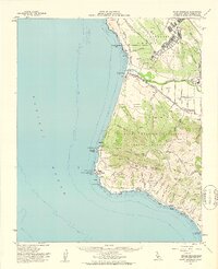
Editions of this 1959 Point Arguello Map
2 editions found
Other maps of this area

1905 · Guadalupe
USGS Topo · 1:125,000

1905 · Lompoc
USGS Topo · 1:125,000

1942 · Point Arguello
USGS Topo · 1:62,500

1942 · Guadalupe
USGS Topo · 1:125,000

1942 · Lompoc
USGS Topo · 1:125,000

1942 · Lompoc
USGS Topo · 1:62,500

1942 · Pt. Conception
USGS Topo · 1:62,500

1942 · Santa Maria
USGS Topo · 1:62,500

1942 · Point Sal
USGS Topo · 1:62,500

1943 · Lompoc
USGS Topo · 1:125,000