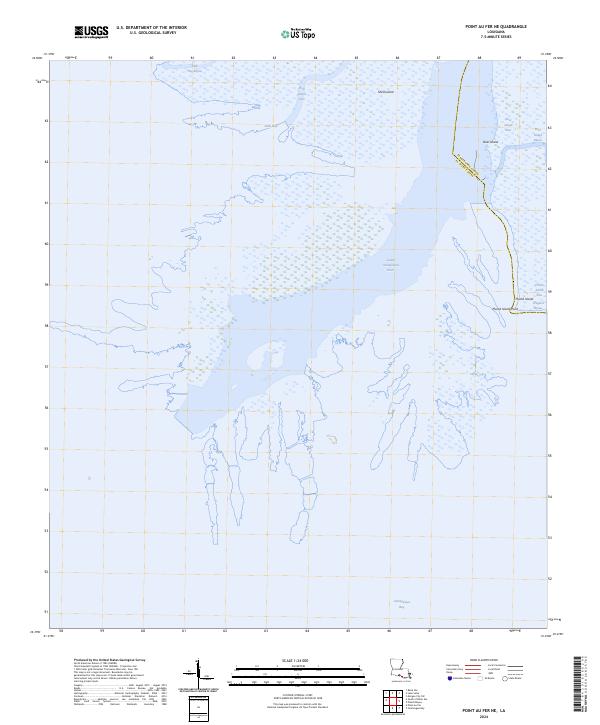
2024 Map of Point au Fer NE
USGS Topo · Published 2024About this map
The Lower Atchafalaya River dominates this coastal landscape, flowing south into the expansive Atchafalaya Bay along the boundary of Terrebonne Parish and St. Mary Parish. This contemporary survey reveals a dynamic delta environment where complex waterways like Shell Island Pass and Deer Island Pass thread through marshy landforms. The terrain is characterized by a series of low-lying islands, including Shell Island, Deer Island, and Plumb Island, which are separated by smaller channels such as Deer Island Bayou and Crooked Bayou. The absence of roads or permanent settlements emphasizes the natural state of this coastal wetland, where geographic markers like Plumb Island Point serve as primary landmarks for navigation. This map offers a detailed view of the modern shoreline and hydrologic patterns in this southern Louisiana parish boundary region.
Find a feature on this map
17 named features on this map. Tap any name to fly to it.
Don’t see what you’re looking for? This feature index may not catch every label — zoom into the map to look around manually.
Map Details
Editions of this 2024 Point au Fer NE Map
This is the sole edition of this map. No revisions or reprints were ever made.
Other maps of this area

1932 · Lake Decade
USGS Topo · 1:62,500

1935 · Belle Isle
USGS Topo · 1:31,680

1935 · Morgan City
USGS Topo · 1:62,500

1941 · Belle Isle
USGS Topo · 1:62,500

1945 · New Orleans
USGS Topo · 1:250,000

1954 · Morgan City
USGS Topo · 1:62,500

1954 · Belle Isle
USGS Topo · 1:62,500

1957 · Lake Decade
USGS Topo · 1:62,500

1957 · Point Au Fer
USGS Topo · 1:62,500

1963 · New Orleans
USGS Topo · 1:250,000