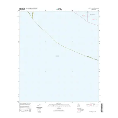
2015 Map of Point au Fer OE S
USGS Topo · Published 2015About this map
Point Au Fer Island sits at the maritime frontier of the Louisiana coast, where the marshy fringes of Terrebonne Parish meet the open waters of the Gulf of Mexico. This 2015 survey illustrates a landscape defined by water and shifting boundaries, marking the precise division between Terrebonne and St. Mary Parish. The northeastern corner of the map reveals the intricate network of the coastal wetlands, featuring Buckes Bayou as it threads through the low-lying terrain of the island. Much of this area is dominated by the open Gulf, reflecting the vulnerability and isolation of this reach of the Louisiana shore. The Public Land Survey System grid lines intersect with the natural hydrography, providing a formal structure to an otherwise fluid environment of bays and inlets.
Find a feature on this map
12 named features on this map. Tap any name to fly to it.
Don’t see what you’re looking for? This feature index may not catch every label — zoom into the map to look around manually.
Map Details
Editions of this 2015 Point au Fer OE S Map
This is the sole edition of this map. No revisions or reprints were ever made.
Other maps of this area

1932 · Lake Decade
USGS Topo · 1:62,500

1935 · Oyster Bayou
USGS Topo · 1:62,500

1945 · New Orleans
USGS Topo · 1:250,000

1957 · Lake Decade
USGS Topo · 1:62,500
1957 · Oyster Bayou
USGS Topo · 1:62,500

1957 · Point Au Fer
USGS Topo · 1:62,500

1963 · New Orleans
USGS Topo · 1:250,000

1966 · New Orleans
USGS Topo · 1:250,000
1970 · Point Au Fer
USGS Topo · 1:24,000
1974 · Fourleague Bay
USGS Topo · 1:24,000