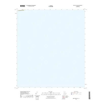
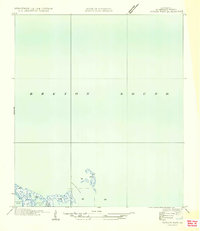
2018 Map of Point Chicot OE S
USGS Topo · Published 2018About this map
Coastal waters and the low-lying wetlands of southeastern Louisiana define this landscape near the boundary of Plaquemines Parish. This 2018 survey illustrates a region dominated by the dynamic marine environment of the Gulf coast, where terrestrial features are sparse and the boundary between land and sea is constantly shifting. The absence of roads, settlements, or named inland landmarks reflects the extreme nature of this deltaic environment, which is primarily accessible by boat. For those studying the historical geography of the Mississippi River Delta, this map provides a precise baseline of the shoreline and administrative limits before further coastal erosion or sea-level changes alter the topography.
Find a feature on this map
1 named feature on this map. Tap any name to fly to it.
Don’t see what you’re looking for? This feature index may not catch every label — zoom into the map to look around manually.
Map Details
Editions of this 2018 Point Chicot OE S Map
This is the sole edition of this map. No revisions or reprints were ever made.
Other maps of this area

1893 · La Fortuna
USGS Topo · 1:62,500

1893 · Forts
USGS Topo · 1:62,500

1935 · Taylor Pass
USGS Topo · 1:31,680

1935 · Lake Athanasio
USGS Topo · 1:31,680
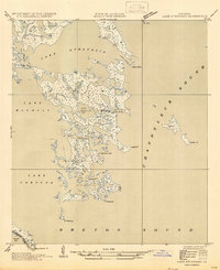
1947 · Lake Athanasio
USGS Topo · 1:31,680

1948 · Forts
USGS Topo · 1:62,500
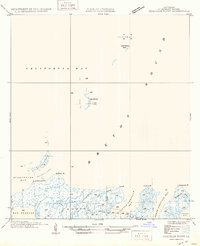
1949 · Coquille Point
USGS Topo · 1:31,680
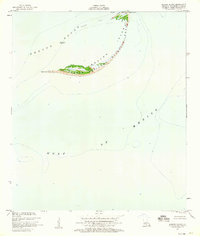
1950 · Breton Islands
USGS Topo · 1:24,000

1953 · Breton Island
USGS Topo · 1:62,500
1954 · Taylor Pass
USGS Topo · 1:31,680