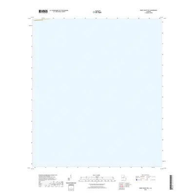
2020 Map of Point Chicot OE S
USGS Topo · Published 2020About this map
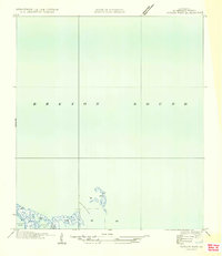
Plaquemines Parish defines the northern boundary of this maritime sheet, situated in the low-lying coastal marshes of southeastern Louisiana. This 2020 survey of the Point Chicot OE S quadrangle represents a landscape dominated by the open waters of the Gulf of Mexico, where subtle shifts in the shoreline and parish boundaries are of primary interest to those tracking coastal changes. As a digital-era product, it relies on hydrography data from the National Hydrography Dataset, though the map remains remarkably sparse, focusing on the aquatic expanse south of the main parish landmasses. The lack of terrestrial labels highlights the vulnerability of this region, where the historical parish lines often cross through areas now reclaimed by the sea.
Find a feature on this map
1 named feature on this map. Tap any name to fly to it.
Don’t see what you’re looking for? This feature index may not catch every label — zoom into the map to look around manually.
Map Details
Editions of this 2020 Point Chicot OE S Map
This is the sole edition of this map. No revisions or reprints were ever made.
Other maps of this area

1893 · La Fortuna
USGS Topo · 1:62,500

1893 · Forts
USGS Topo · 1:62,500

1935 · Taylor Pass
USGS Topo · 1:31,680

1935 · Lake Athanasio
USGS Topo · 1:31,680
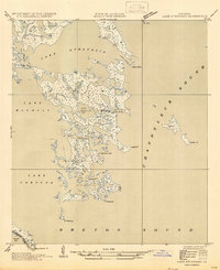
1947 · Lake Athanasio
USGS Topo · 1:31,680

1948 · Forts
USGS Topo · 1:62,500
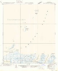
1949 · Coquille Point
USGS Topo · 1:31,680
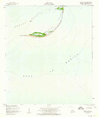
1950 · Breton Islands
USGS Topo · 1:24,000

1953 · Breton Island
USGS Topo · 1:62,500
1954 · Taylor Pass
USGS Topo · 1:31,680