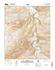
2014 Map of Point Lay A-2 NE
USGS Topo · Published 2014About this map
Amatusuk Hills dominate the southwestern portion of this Alaskan landscape, where the rising terrain reaches elevations of over 1,400 feet. This topographic study captures a remote section of the North Slope defined by its drainage patterns rather than human settlement. The Kukpowruk River meanders northward through the eastern half of the quadrangle, carving a wide valley between the hills. Smaller tributaries like Deadfall Cr feed into the river system from the northeast. The absence of roads, structures, or established settlements emphasizes the wilderness character of the region, where the landscape is primarily defined by its hydrology and the natural contours of the tundra. The systematic grid of the Public Land Survey System provides the only human-imposed framework across the undulating slopes of the Amatusuk Hills.
Find a feature on this map
12 named features on this map. Tap any name to fly to it.
Don’t see what you’re looking for? This feature index may not catch every label — zoom into the map to look around manually.
Map Details
Editions of this 2014 Point Lay A-2 NE Map
This is the sole edition of this map. No revisions or reprints were ever made.
Other maps of this area

1951 · Point Lay
USGS Topo · 1:250,000

1955 · Point Lay
USGS Topo · 1:250,000

1955 · Point Lay B-1
USGS Topo · 1:63,360

1955 · Point Lay A-1
USGS Topo · 1:63,360
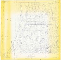
1955 · Point Lay B-2 & 3
USGS Topo · 1:63,360
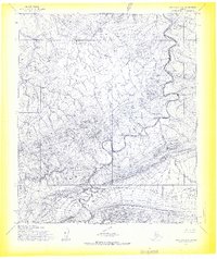
1955 · Point Lay A-2
USGS Topo · 1:63,360
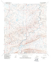
1956 · Point Lay A-2
USGS Topo · 1:63,360

1965 · Point Lay
USGS Topo · 1:250,000
2014 · Point Lay B-2 SW
USGS Topo · 1:25,000
2014 · Point Lay B-1 SW
USGS Topo · 1:25,000