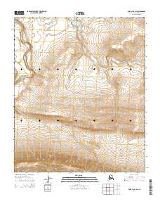
2014 Map of Point Lay B-1 SW
USGS Topo · Published 2014About this map
The Amatusuk Hills dominate the southern portion of this landscape, rising above the lowlands in the northern reaches of the Alaska North Slope. This 2014 survey captures a remote wilderness defined by shifting watercourses and elevation changes. The Kukpowruk River meanders through the western section of the map, characterized by tight oxbows and dramatic bends that indicate a dynamic hydrological environment. To the east, the Epizetka River flows through the central and northeastern terrain. The map's detailed contouring reveals a landscape shaped by natural drainage patterns and the gradual rise of the hills, offering a clear view of the area's geography before significant human infrastructure reached this specific corner of the borough.
Find a feature on this map
7 named features on this map. Tap any name to fly to it.
Don’t see what you’re looking for? This feature index may not catch every label — zoom into the map to look around manually.
Map Details
Editions of this 2014 Point Lay B-1 SW Map
This is the sole edition of this map. No revisions or reprints were ever made.
Other maps of this area

1951 · Point Lay
USGS Topo · 1:250,000

1955 · Point Lay
USGS Topo · 1:250,000

1955 · Point Lay B-1
USGS Topo · 1:63,360

1955 · Point Lay A-1
USGS Topo · 1:63,360
1955 · Point Lay B-2 & 3
USGS Topo · 1:63,360
1955 · Point Lay A-2
USGS Topo · 1:63,360
1956 · Point Lay A-2
USGS Topo · 1:63,360

1965 · Point Lay
USGS Topo · 1:250,000
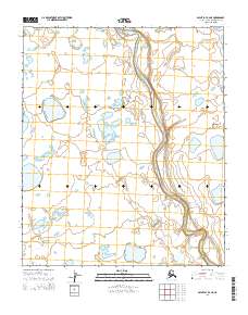
2014 · Point Lay B-2 NE
USGS Topo · 1:25,000
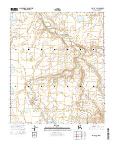
2014 · Point Lay B-1 NW
USGS Topo · 1:25,000