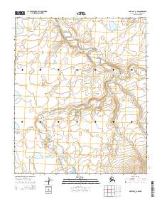
2014 Map of Point Lay B-1 NW
USGS Topo · Published 2014About this map
The Epizetka River winds across this Arctic landscape, creating a complex drainage pattern of loops and meanders through the North Slope. Located within the North Slope Borough, the terrain is characterized by the river's path through several townships, including t2n r43w and t1n r43w. Aside from the river itself, the most prominent water feature is Kuviruk Lake in the northeastern portion of the sheet. The absence of roads or permanent structures reflects the wilderness character of this region, where the Public Land Survey System grid provides the primary framework for orientation across the open tundra and fluvial plains.
Find a feature on this map
10 named features on this map. Tap any name to fly to it.
Don’t see what you’re looking for? This feature index may not catch every label — zoom into the map to look around manually.
Map Details
Editions of this 2014 Point Lay B-1 NW Map
This is the sole edition of this map. No revisions or reprints were ever made.
Other maps of this area

1951 · Point Lay
USGS Topo · 1:250,000

1955 · Point Lay
USGS Topo · 1:250,000

1955 · Point Lay B-1
USGS Topo · 1:63,360

1955 · Point Lay C-1
USGS Topo · 1:63,360
1955 · Point Lay B-2 & 3
USGS Topo · 1:63,360
1955 · Point Lay C-2
USGS Topo · 1:63,360

1965 · Point Lay
USGS Topo · 1:250,000
2014 · Point Lay B-2 NE
USGS Topo · 1:25,000
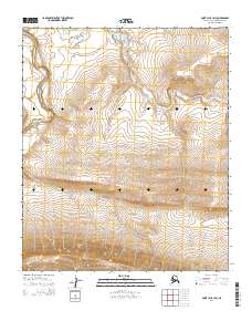
2014 · Point Lay B-1 SW
USGS Topo · 1:25,000
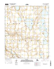
2014 · Point Lay C-1 SW
USGS Topo · 1:25,000