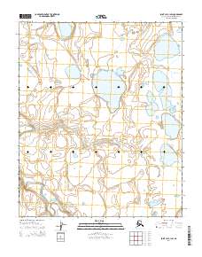
2014 Map of Point Lay C-1 SW
USGS Topo · Published 2014About this map
Kuvirok Lake sits in the southeastern corner of this North Slope landscape, part of a vast network of thaw lakes and wetlands characteristic of the Arctic coastal plain. The terrain is defined by the winding course of the Epizetka River, which meanders through the western and central portions of the quadrangle. In the northern sections, Niklavik Cr drains toward the coast, following a complex path through low-lying tundra. The absence of roads or permanent structures in this 2014 survey reflects the remote nature of the North Slope Borough, where land use is primarily governed by the Bureau of Land Management and local indigenous subsistence patterns. This map serves as a precise record of hydrologic features and elevation contours before significant shifts in permafrost and drainage patterns occur over time.
Find a feature on this map
9 named features on this map. Tap any name to fly to it.
Don’t see what you’re looking for? This feature index may not catch every label — zoom into the map to look around manually.
Map Details
Editions of this 2014 Point Lay C-1 SW Map
This is the sole edition of this map. No revisions or reprints were ever made.
Other maps of this area

1951 · Point Lay
USGS Topo · 1:250,000

1955 · Point Lay
USGS Topo · 1:250,000

1955 · Point Lay B-1
USGS Topo · 1:63,360

1955 · Point Lay C-1
USGS Topo · 1:63,360
1955 · Point Lay B-2 & 3
USGS Topo · 1:63,360
1955 · Point Lay C-2
USGS Topo · 1:63,360

1965 · Point Lay
USGS Topo · 1:250,000
2014 · Point Lay B-2 NE
USGS Topo · 1:25,000
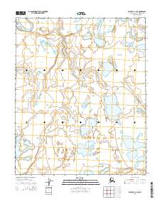
2014 · Point Lay C-2 NE
USGS Topo · 1:25,000
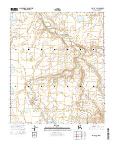
2014 · Point Lay B-1 NW
USGS Topo · 1:25,000