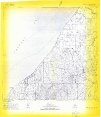
1955 Map of Point Lay A-3 & 4
USGS Topo · Published 1969About this map
Cape Beaufort anchors the coastline of the Chukchi Sea on this mid-century survey of the North Slope. The landscape is defined by the transition from coastal features like Omalik Lagoon to the interior elevations of the Amatusuk Hills. Human presence is minimal and transient, marked by small points of habitation at Panikpiak and Omalik, along with a lone Cabin near the mouth of Kahkalak Creek. Transportation in this subarctic environment relied on seasonal routes rather than permanent roads, evidenced by the mapped Winter Trail and Tractor Trail that navigate the lowlands. The drainage pattern is intricate, with numerous waterways such as Kuchkak Creek, Pungokpuk Creek, and Amatusuk Creek carving through the tundra toward the sea, reflecting the delicate hydrology of the Alaskan arctic before modern development.
Find a feature on this map
13 named features on this map. Tap any name to fly to it.
Don’t see what you’re looking for? This feature index may not catch every label — zoom into the map to look around manually.
Map Details
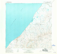
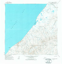
Editions of this 1955 Point Lay A-3 & 4 Map
3 editions found
Other maps of this area

1951 · De Long Mountains
USGS Topo · 1:250,000

1951 · Point Lay
USGS Topo · 1:250,000

1955 · De Long Mountains
USGS Topo · 1:250,000

1955 · Point Lay
USGS Topo · 1:250,000

1955 · De Long Mountains D-2
USGS Topo · 1:63,360
1955 · Point Lay B-2 & 3
USGS Topo · 1:63,360
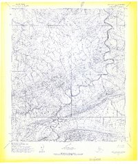
1955 · Point Lay A-2
USGS Topo · 1:63,360
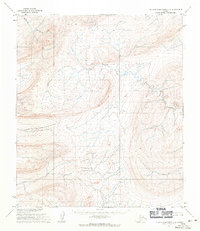
1955 · De Long Mountains D-3
USGS Topo · 1:63,360

1955 · De Long Mountains D-4
USGS Topo · 1:63,360
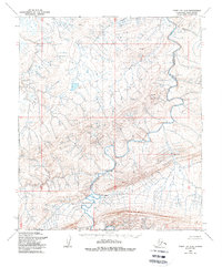
1956 · Point Lay A-2
USGS Topo · 1:63,360