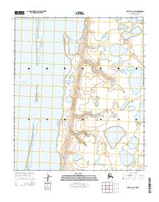
2014 Map of Point Lay B-2 NW
USGS Topo · Published 2014About this map
Kasegaluk Lagoon dominates this coastal landscape along the Arctic shore of the North Slope, separated from the open Chukchi Sea by a thin, protective barrier. This specific stretch of the coastline is defined by the elongated Kopkakisak Island, which shelters the shallow lagoon waters from the sea's influence. The map illustrates a complex network of coastal ponds and wetlands that characterize the low-lying tundra, highlighting the intricate transition between terrestrial and marine environments in this remote region. The absence of roads or settlements emphasizes the vast, undeveloped nature of the area, where the primary features are the shifting shorelines and the vast expanses of surface water typical of the Alaskan Arctic coastal plain.
Find a feature on this map
9 named features on this map. Tap any name to fly to it.
Don’t see what you’re looking for? This feature index may not catch every label — zoom into the map to look around manually.
Map Details
Editions of this 2014 Point Lay B-2 NW Map
This is the sole edition of this map. No revisions or reprints were ever made.
Other maps of this area

1951 · Point Lay
USGS Topo · 1:250,000

1955 · Point Lay
USGS Topo · 1:250,000
1955 · Point Lay B-2 & 3
USGS Topo · 1:63,360
1955 · Point Lay C-2
USGS Topo · 1:63,360

1965 · Point Lay
USGS Topo · 1:250,000
2014 · Point Lay B-2 NE
USGS Topo · 1:25,000
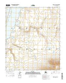
2014 · Point Lay B-2 SW
USGS Topo · 1:25,000
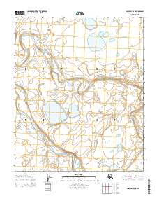
2014 · Point Lay C-2 SE
USGS Topo · 1:25,000
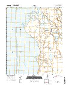
2014 · Point Lay C-2 SW
USGS Topo · 1:25,000
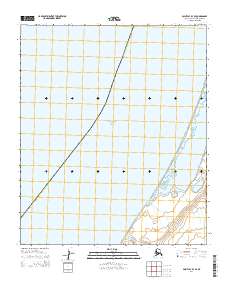
2014 · Point Lay B-3 SE
USGS Topo · 1:25,000