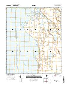
2014 Map of Point Lay C-2 SW
USGS Topo · Published 2014About this map
The coastal interface between the Chukchi Sea and the North Slope interior defines this reach of the Alaska wilderness. The dominant feature is Kasegaluk Lagoon, a massive shallow-water estuary protected from the open ocean by a series of barrier features, including Kopkakisak Island and the prominent Sitkok Point. This landscape is shaped by the slow movement of water through the tundra, as seen in the winding paths of the Kukpowruk River and the Epizetka River as they approach the coast. The map reveals the intricate network of thaw lakes and braided stream channels characteristic of the Arctic coastal plain, where drainage is dictated by the low-relief terrain and seasonal cycles.
Find a feature on this map
10 named features on this map. Tap any name to fly to it.
Don’t see what you’re looking for? This feature index may not catch every label — zoom into the map to look around manually.
Map Details
Editions of this 2014 Point Lay C-2 SW Map
This is the sole edition of this map. No revisions or reprints were ever made.
Other maps of this area

1951 · Point Lay
USGS Topo · 1:250,000

1955 · Point Lay
USGS Topo · 1:250,000
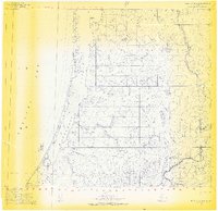
1955 · Point Lay B-2 & 3
USGS Topo · 1:63,360
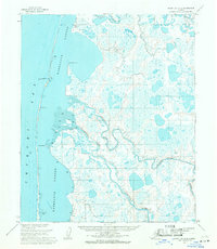
1955 · Point Lay C-2
USGS Topo · 1:63,360

1965 · Point Lay
USGS Topo · 1:250,000
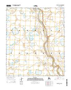
2014 · Point Lay B-2 NE
USGS Topo · 1:25,000
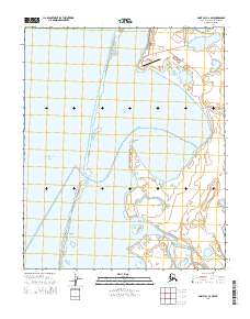
2014 · Point Lay C-2 NW
USGS Topo · 1:25,000
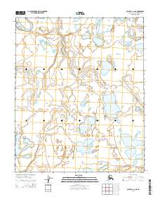
2014 · Point Lay C-2 NE
USGS Topo · 1:25,000
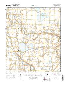
2014 · Point Lay C-2 SE
USGS Topo · 1:25,000
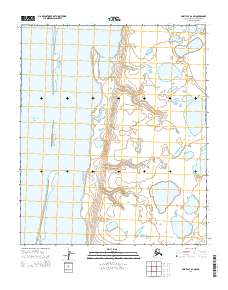
2014 · Point Lay B-2 NW
USGS Topo · 1:25,000