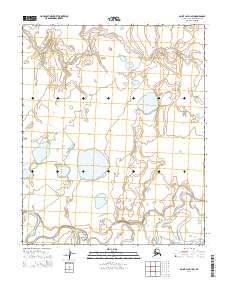
2014 Map of Point Lay D-1 SW
USGS Topo · Published 2014About this map
The Arctic coastal plain in this northern reach of Alaska is defined by the winding course of the Kokolik River, which snakes across the southern portion of the landscape. This 2014 survey captures a terrain characterized by complex hydrology, where the river's path is mirrored by the smaller Tungak Cr to the north. The area is a vast network of thaw lakes and wetlands typical of the North Slope, where water bodies dominate the surface topography. There are no permanent settlements or structures indicated on this sheet, reflecting the remote and natural state of the land within the boundaries of t6n r43w and t5n r42w. The survey highlights the subtle relief of the tundra, with low-lying basins and drainage patterns that dictate the seasonal movement of water across this permafrost-underlain region.
Find a feature on this map
6 named features on this map. Tap any name to fly to it.
Don’t see what you’re looking for? This feature index may not catch every label — zoom into the map to look around manually.
Map Details
Editions of this 2014 Point Lay D-1 SW Map
This is the sole edition of this map. No revisions or reprints were ever made.
Other maps of this area

1951 · Point Lay
USGS Topo · 1:250,000

1955 · Point Lay
USGS Topo · 1:250,000

1955 · Point Lay C-1
USGS Topo · 1:63,360
1955 · Point Lay D-1
USGS Topo · 1:63,360
1955 · Point Lay D-2
USGS Topo · 1:63,360
1955 · Point Lay C-2
USGS Topo · 1:63,360

1965 · Point Lay
USGS Topo · 1:250,000
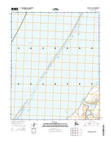
2014 · Point Lay D-2 NE
USGS Topo · 1:25,000
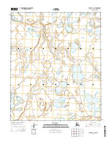
2014 · Point Lay C-2 NE
USGS Topo · 1:25,000
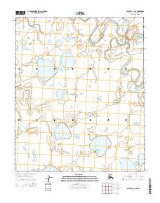
2014 · Point Lay C-1 NE
USGS Topo · 1:25,000