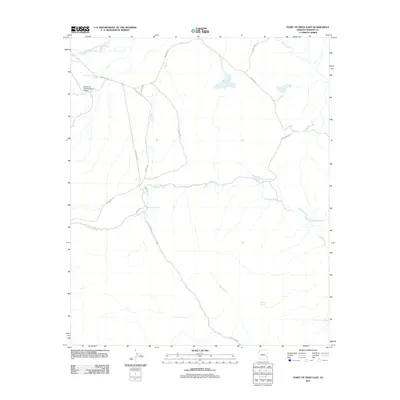
2011 Map of Point of Pines East
USGS Topo · Published 2011About this map
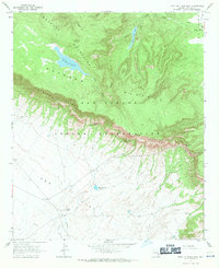
The University Archeological School anchors this high-elevation landscape in Graham County, marking a site of academic field study in a region defined by its water management and ancient paths. The map reveals an intricate network of artificial catchments and natural springs essential for life in this arid environment, including Point of Pines Charco, Salt Shed Tank, and the South Cienega Spring. These features suggest a landscape managed for livestock or research purposes, where water sources are carefully named and maintained.
Find a feature on this map
24 named features on this map. Tap any name to fly to it.
Don’t see what you’re looking for? This feature index may not catch every label — zoom into the map to look around manually.
Map Details
Editions of this 2011 Point of Pines East Map
This is the sole edition of this map. No revisions or reprints were ever made.
Other maps of this area

1954 · Clifton
USGS Topo · 1:250,000

1957 · Clifton
USGS Topo · 1:250,000

1958 · Clifton
USGS Topo · 1:250,000

1960 · Fort Thomas
USGS Topo · 1:62,500

1962 · Clifton
USGS Topo · 1:250,000

1962 · Bryce Mountain
USGS Topo · 1:62,500
1967 · Sawbuck Mtn.
USGS Topo · 1:24,000
1967 · Willow Mtn.
USGS Topo · 1:24,000
1967 · Point of Pines East
USGS Topo · 1:24,000
1967 · Point of Pines West
USGS Topo · 1:24,000