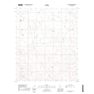
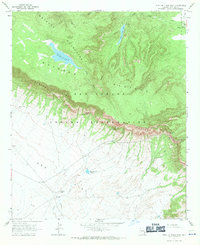
2018 Map of Point of Pines East
USGS Topo · Published 2018About this map
Natanes Plateau and the Nantac Rim dominate the high-altitude geography of this southeastern Arizona territory. The landscape is defined by its water management and sparse backcountry outposts, such as the Point of Pines settlement and the remote Picket Trail Dugout. These features suggest a history of seasonal ranching and rugged land use, supported by a network of named livestock tanks and springs including Salt Shed Tank, Maggie Jones Tank, and Turkey Spring. Drainage patterns like Point of Pines Cr and Cienega Cr carve through the open spaces of Big Prairie, while a series of county roads and the Black River Rd provide the primary access through the steep terrain and plateau flats.
Find a feature on this map
32 named features on this map. Tap any name to fly to it.
Don’t see what you’re looking for? This feature index may not catch every label — zoom into the map to look around manually.
Map Details
Editions of this 2018 Point of Pines East Map
This is the sole edition of this map. No revisions or reprints were ever made.
Other maps of this area

1954 · Clifton
USGS Topo · 1:250,000

1957 · Clifton
USGS Topo · 1:250,000

1958 · Clifton
USGS Topo · 1:250,000

1960 · Fort Thomas
USGS Topo · 1:62,500

1962 · Clifton
USGS Topo · 1:250,000

1962 · Bryce Mountain
USGS Topo · 1:62,500
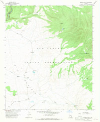
1967 · Sawbuck Mtn.
USGS Topo · 1:24,000
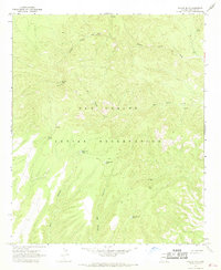
1967 · Willow Mtn.
USGS Topo · 1:24,000
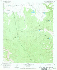
1967 · Point of Pines East
USGS Topo · 1:24,000
1967 · Point of Pines West
USGS Topo · 1:24,000