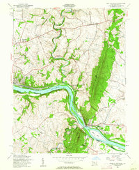
1955 Map of Point Of Rocks
USGS Topo · Published 1962About this map
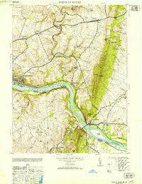
The Potomac River corridor serves as the primary artery for transportation and industry on this mid-century survey, where the Chesapeake and Ohio Canal and the Baltimore and Ohio RR parallel the water's edge. At Point of Rocks, the landscape is defined by the narrowing gap between the river and the steep rise of Catoctin Mountain. This convergence created a strategic bottleneck for early Maryland infrastructure, visible here in the junction of rail lines and the presence of the Gaging Station and Catoctin Sta (Lander P O). Away from the river, the terrain transitions into agricultural upland dotted with small communities like Petersville, Jefferson, and Slabtown. Local history is preserved through the locations of rural congregations at St Marks Ch and Bethel Ch, alongside industrial remnants such as Bells Mill on Catoctin Creek.
Find a feature on this map
41 named features on this map. Tap any name to fly to it.
Don’t see what you’re looking for? This feature index may not catch every label — zoom into the map to look around manually.
Map Details
Editions of this 1955 Point Of Rocks Map
2 editions found
Historical Maps of Brunswick Through Time
12 maps found

1908 Ijamsville
Frederick County, MD
1944 Catoctin Furnace
Frederick County, MD
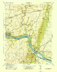
1944 Point Of Rocks
Frederick County, MD
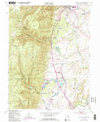
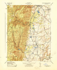
1953 Catoctin Furnace
Frederick County, MD
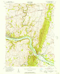
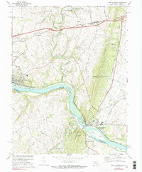
1953 Point Of Rocks
Frederick County, MD
1955 Point Of Rocks
Frederick County, MD
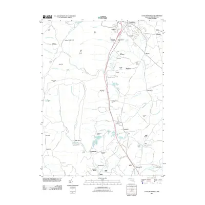
1970 Point Of Rocks
Frederick County, MD
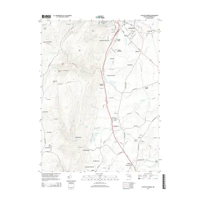
2011 Catoctin Furnace
Frederick County, MD
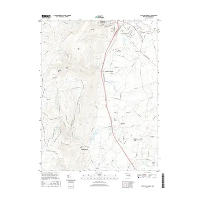
2014 Catoctin Furnace
Frederick County, MD
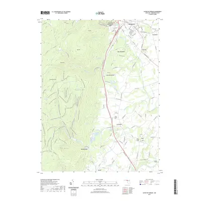
2016 Catoctin Furnace
Frederick County, MD
2019 Catoctin Furnace
Frederick County, MD
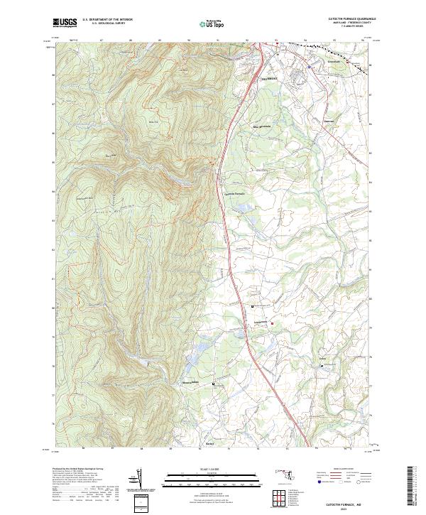
2023 Catoctin Furnace
Frederick County, MD